Please Read Our Price Policy
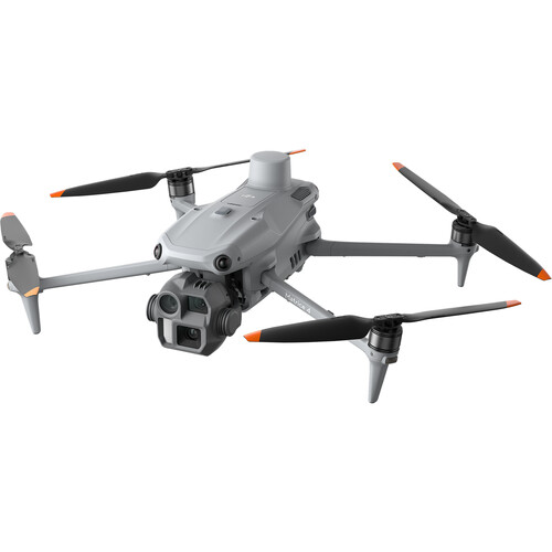
Enterprise drone with 4/3 CMOS camera; RTK; and advanced mapping feature
Our Online Price Paying via Bank Transfer R 90463.26 incl. VAT
Normal Price – Without discount
R93,261.09 incl. VAT
18 Available: Delivery 2-3 Business Days
Capture precise aerial data with the Enterprise drone featuring a powerful 4/3 CMOS camera for ultra-clear images and video. Equipped with RTK for centimeter-level positioning and advanced mapping capabilities, this drone delivers unmatched accuracy for surveying, inspections, and mapping tasks. Ideal for professionals who demand reliability and top-tier performance.

Enterprise Drone with 4/3 CMOS Camera, RTK, and Advanced Mapping Features
Experience powerful aerial performance with this enterprise drone, engineered for professional mapping and surveying applications. Equipped with a high-resolution 4/3 CMOS camera, it delivers sharp and true-to-life imagery for precision data gathering. The Real-Time Kinematic (RTK) module ensures centimeter-level positioning accuracy, perfect for demanding geospatial tasks.
- 4/3 CMOS camera offers excellent image clarity for mapping projects
- Advanced RTK module enhances flight stability and data precision
- Intelligent flight modes for effortless mission planning and execution
- Lightweight and foldable body for easy transport and quick deployment
- Supports up to 45 minutes of flight time per charge
- Obstacle avoidance sensors for increased safety in complex settings
- Seamless integration with leading mapping and surveying software
- Reliable connectivity with remote control for extended operational range
Whether you are surveying land, inspecting assets, or mapping large areas, this enterprise drone is up to the task. Its robust construction guarantees durability in various conditions, while intuitive controls simplify every mission. Enjoy cost-effective, high-quality performance in a compact solution designed for professionals who demand accuracy and efficiency.
Additional information
| Brand |
|---|
Is the information for this product incomplete, wrong or inappropriate?
Does this product have an incorrect or missing image?
Is this product missing categories?
Please let us know via email